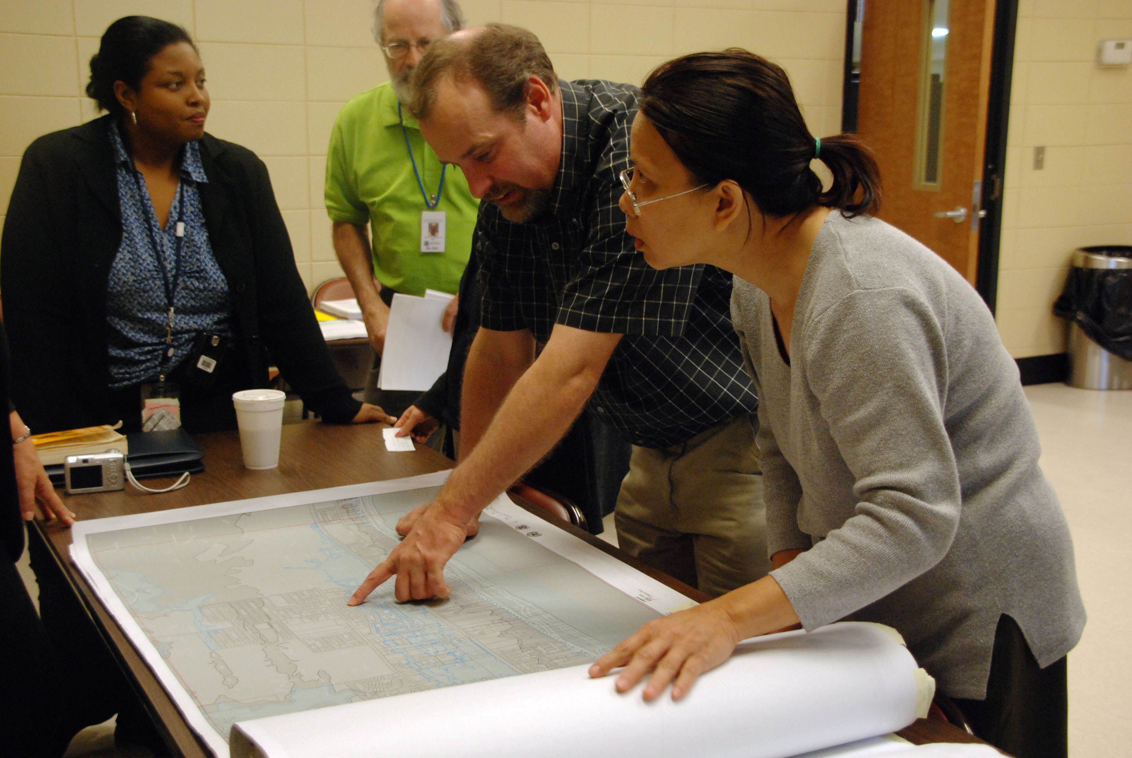
Some eastern Clearwater homeowners could be required to buy flood insurance for the first time after preliminary FEMA flood maps for the Alligator Creek Watershed were released this month.
The new Flood Insurance Rate Maps cover 3,452 acres in the city, divided roughly in half by U.S. 19 and stretching from neighborhoods near Clearwater Airpark and Spectrum Field to Moccasin Lake Environmental Education Center and Cliff Stephens Park. The watershed drains through Alligator Lake into Old Tampa Bay.
Gene Henry, Clearwater’s floodplain administrator, told Tampa Bay 28 the city submitted information to FEMA for review because of repetitive flooding in the area.
“We know that area had repetitive flooding and there was a lot of flooding in areas that were not identified on the flood insurance rate map,” Henry said.
More properties are shifting into high-risk flood zones than moving out, according to Henry, as reported by Hoodline. Under federal rules, property owners with federally backed mortgages whose buildings are in a Special Flood Hazard Area must carry flood insurance. Property owners in moderate- to low-risk zones may buy coverage voluntarily.
The maps cut both ways. Some residents who never needed flood insurance could now be required to buy it, while others currently paying premiums may find their properties reclassified out of high-risk zones.
What residents should do
An online portal at clearwaterfl.withforerunner.com allows property owners to check their current and proposed flood zones side by side. The site also accepts formal comments and appeals, though appeals must include technical data, such as hydraulic or hydrologic analyses, showing the map is incorrect. Simply stating that a property has never flooded is not sufficient.
The formal 90-day appeal and comment period began Aug. 19 and ends Nov. 17. Pinellas County says residents can review their preliminary map changes and should contact their insurance agents about potential coverage changes.pinellas
The city scheduled three open house meetings where staff will explain how the maps work and what steps residents can take:
- Saturday, Sept. 12, 9:30 a.m. to noon, East Community Library, 2465 Drew St.
- Wednesday, Sept. 30, 4 to 7 p.m., Safety Harbor Public Library, 101 Second St. N.
- Tuesday, Nov. 10, 10 a.m. to 1 p.m., East Community Library, 2465 Drew St.
Timeline and discounts
The new maps could take effect as early as mid-2027. FEMA’s process includes a 90-day appeal period, resolution of challenges and a six-month period before the final maps take effect.
Clearwater holds a Class 5 rating in FEMA’s Community Rating System, giving property owners a 25% discount on eligible National Flood Insurance Program premiums. Unincorporated Pinellas County, which includes 1,775 acres of the same watershed, holds a Class 2 rating — the highest ever achieved by a Florida community — saving policyholders 40% on premiums.pinellas+2
Residents with questions can email [email protected] or call the Planning and Development Department at 727-562-4567, option 7.





.jpg)