Clearwater Beach faces dangerous surf and severe thunderstorms through Saturday, Aug. 1, with seas building as high as 6 feet and forecasters urging swimmers to stay out of the water entirely.
The National Weather Service issued a Rip Current Statement for Pinellas County on Wednesday, July 29, running through Friday, July 31, at 8 p.m. The broader threat window extends through Saturday, according to a Florida Public Radio Emergency Network forecast published Wednesday, July 29, by meteorologist Irene Sans, who has served as Florida's deputy state meteorologist.
The warning comes as Clearwater Fire & Rescue has already been stretched thin by rough water. During a Tropical Storm Bertha-related rip current event the week of July 22, crews responded to eight water rescues in one day and five more the following afternoon, Fox 13 reported. A month earlier, on June 25, Clearwater Beach lifeguards pulled 35 people from rip currents in a single day.
What to expect
The NWS Pinellas County forecast calls for a 70% chance of rain Thursday through Sunday night, with numerous showers and scattered thunderstorms each day. Highs will reach the upper 80s with lows in the upper 70s. West winds of 10 to 15 mph could gust to 25 mph Friday.
Farther north, the Weather Prediction Center placed the Florida Panhandle through North Florida under a Moderate Risk for flash flooding Wednesday, meaning at least a 5% chance of flash flooding within 25 miles of any point in the highlighted zone. The Clearwater and Tampa Bay area falls under a Marginal Risk (Level 1 of 4) through Saturday.
As we reported July 27, the system was initially expected to bring 3 to 5 inches of rain through Thursday. Forecasters now say repeated downpours could saturate the ground and increase the flood threat into the weekend, particularly in low-lying areas. The NWS Tampa Bay office notes that West Central Florida is under abnormally dry to extreme drought conditions, which can worsen flash flooding because hardened soil repels water rather than absorbing it.
Wind gusts up to 60 mph are possible with the strongest thunderstorms, according to the FPREN forecast.
Beach safety
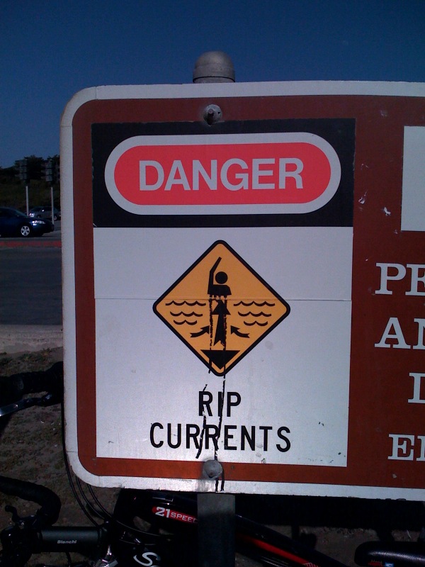
Clearwater Fire & Rescue has not issued a statement for the current warning period, but the department's standing guidance from July 23 advises that swimming is not recommended while red flags are displayed. Warning signs are posted at the beach entrance and near lifeguard stations.
Rip currents can move at speeds up to 8 feet per second, faster than an Olympic swimmer. They do not pull swimmers underwater but carry them away from shore. If caught in one, swimmers should not fight the current but swim parallel to the beach until free of the pull.
The timing is notable: most Florida public schools start Monday, Aug. 10, and many families are planning final summer beach trips. Bays and inland waters will also remain choppy through the weekend, and boaters should check for coastal and offshore warnings before heading out.
The formal NWS Rip Current Statement expires Friday at 8 p.m., but forecasters expect dangerous conditions to persist through Saturday.






.jpg)