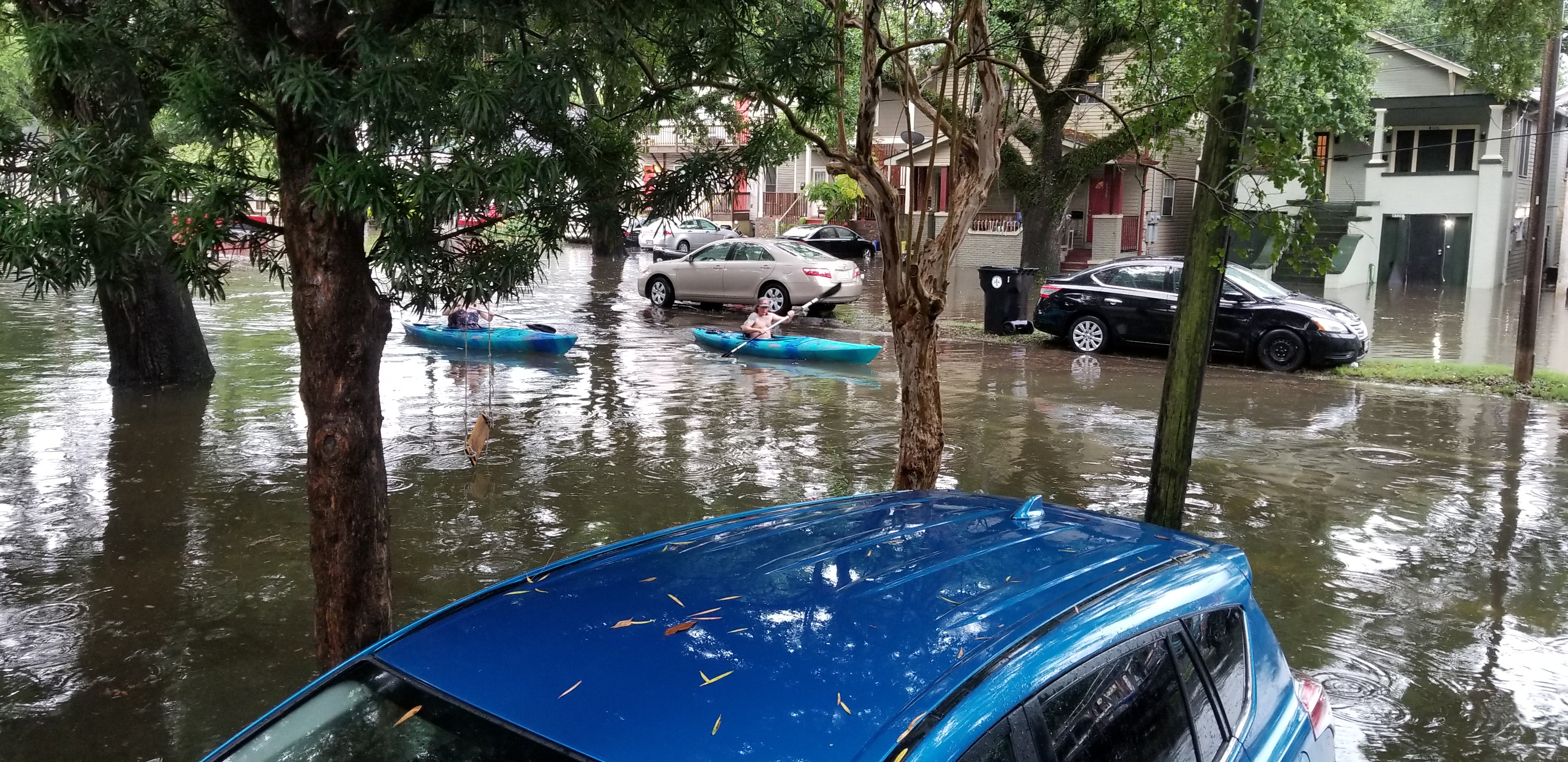
Parts of Florida could face a record-wet winter as a strengthening El Niño heads toward historic levels, the state's top climate scientist warned.
Emily Powell, Florida State Climatologist at Florida State University, said the pattern's strength is expected to "exceed the strength of all previous El Niños, at least on record going back to 1950, but likely before that." She said the El Niño has not yet peaked but likely will within the next month or so.
For Clearwater-area residents, the forecast means the dry season may not live up to its name. El Niño, a global climate pattern fueled by warmer waters in the Pacific, is expected to send heavy rain to Florida this fall and winter. Powell said it is tough to pin down exactly where the heaviest rain will fall, but strong El Niño years tend to bring at least one or two events dumping more than six inches of rain in 24 hours.
Brevard flooding shows the stakes
A flash flood in Brevard County the week of Nov. 2 killed two people in Palm Bay and damaged at least 250 homes, as first reported by WUSF. Some areas south of U.S. 192 received more than 20 inches of rain in less than 24 hours.
Brevard County Communications Director Don Walker called it a once-in-1,000-year flood. Sheriff Wayne Ivey reported more than 200 high-water rescues. Walker said there is no preparation phase for a flash flood, unlike a hurricane where officials have days to warn people.
The risk is not abstract.
Federal forecast confirms strength
A National Oceanic and Atmospheric Administration (NOAA) advisory says a strong-to-very-strong El Niño is likely to persist through March 2027, with greater than an 83% chance of remaining at that level. Sea surface temperature anomalies exceeded 4.0 degrees Celsius in portions of the eastern equatorial Pacific.
The advisory also estimates an 83% chance for the October-December period that the El Niño will reach historic levels, exceeding all previous events on record.
Flooding, tornadoes both risks
Megan Borowski, senior meteorologist for the Florida Public Radio Emergency Network (FPREN), said El Niño can push the jet stream farther south, steering more winter storms into Florida. If that happens, she said, stronger thunderstorms would produce heavier rain over shorter periods, making flooding a risk.
Borowski also raised the possibility of severe weather outbreaks, including tornadoes. She pointed to the Central Florida tornadoes of the late 1990s, which occurred during an El Niño year.
She urged residents to identify shelter locations in their homes and workplaces before severe weather arrives. Walker encouraged people who live in flood-prone areas to have an evacuation plan ready.